Land & Property Documentation · Lake Tobesofkee, Macon, GA
Shoreline and timber overview
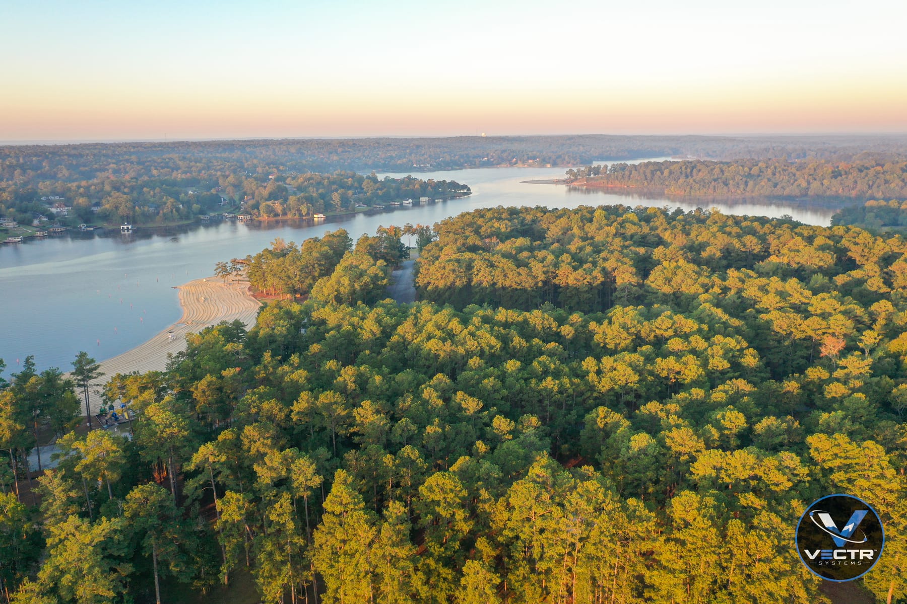
Wide oblique showing the beach, tree cover, shoreline, and access in a single frame.
See the whole property at once. Aerial imagery and maps of land, timber, pasture, ponds, and structures for owners, buyers, agents, and managers who need the full picture.
Walking a large property takes hours and still leaves blind spots. A single flight shows the layout, access roads, water, tree lines, fences, and structures in context, whether the parcel is on a Middle Georgia lake or Central Georgia farmland. For buyers and sellers, it answers questions before anyone drives out.
If you have a plat or GIS data, we can overlay approximate boundaries on an orthomosaic for visualization. These overlays are for reference and are not a survey; a licensed surveyor establishes legal boundaries.
Dated imagery is useful insurance. Before a timber harvest, after a storm, when a lease changes hands, or just once a year, a documented set of the property gives you something concrete to point to later.
Tell us what you're trying to accomplish, where it is, and when you need it.
Start a requestPricing
One project. One clear price. Quality without compromise. Every project gets a flat, upfront quote based on size, complexity, location, and deliverables.
Starting at $299
All prices are starting rates. Every project receives a customized, upfront flat-rate quote based on property size, complexity, location, and agreed deliverables. No hourly billing or unexpected flight-time charges. Reasonable additional collections needed to meet the original agreed scope are included when safely and legally feasible. Changes to scope are quoted and approved in advance.
Related work
Wide oblique showing the beach, tree cover, shoreline, and access in a single frame.
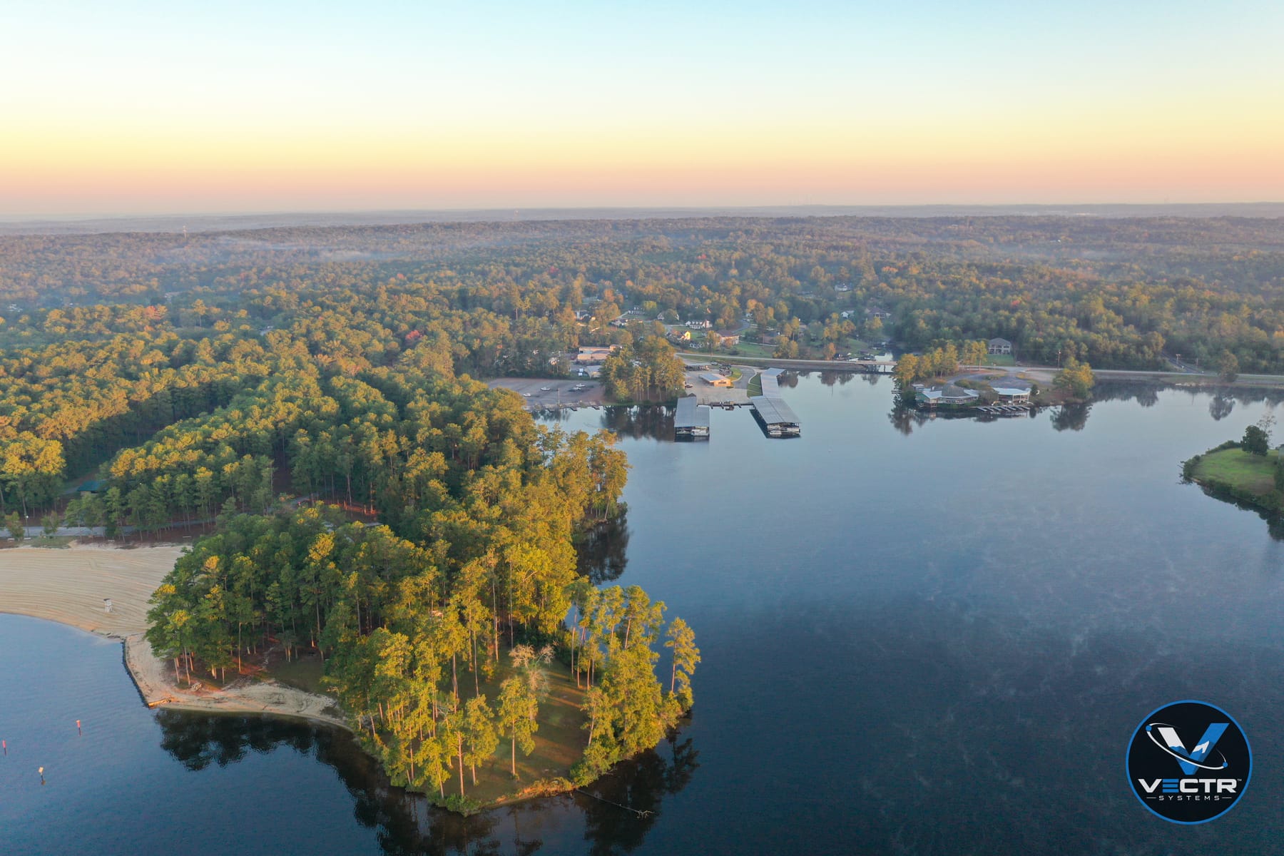
High oblique covering the peninsula, beach, marina, and surrounding neighborhoods in one frame.